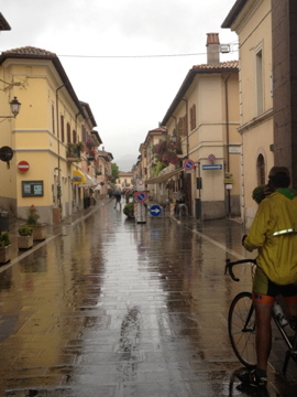
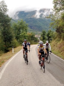
In a fine break for us, the rain sputtered to a stop at 11:30 as we were preparing our bikes and gear. We began shedding our raincoats almost as soon as we began the day’s ride.
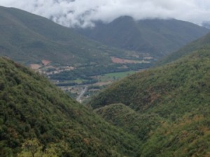
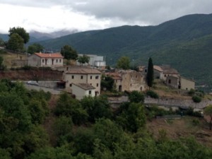
Our route featured four major climbs, possibly reduced to two by our weather-shortened day, but restorable to four if the weather held. We climbed through one pass, and then two, gawking at picturesque towns and vast
mountain valleys. We thought we were back in the Alps! This was a lovely surprise. The climbs were 6 and 8 miles long, not unlike many Alps and Pyrenees climbs, but intermixed steep ramps with short dips. While the day’s passes only topped out at 1,000 m. (3,250 ft), we started the day at 263 m. (855 ft.), making for 737 m. (2,400 ft.) elevation differences, similar to Alpean climbs. Around the passes, Apennine peaks reached over 5,000 ft.
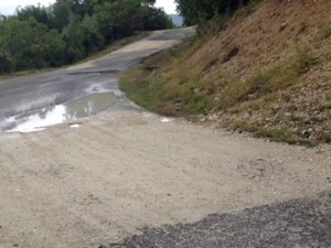
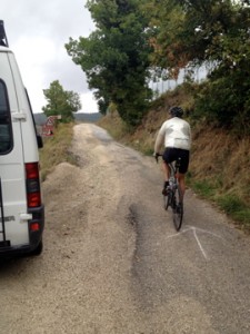
Mike had planned a route largely on backroads and cars were few and far between. The pavement was generally much-improved from the previous day, though still presented enough crumble and patches to keep us alert on descents. It also seemed to contribute to flat tires (along with sharp gravel and wet pavement)—6 on the day. On descent from pass no. 2, Nel informed us we would find 2 gravel breaks in the road. We counted 9. It all added to the thrills and storytelling.
At 2:30 PM we came to the decision point. We had had a fantastic first 3 hours with cool temps. and cloudy skies and just an occasional spritz of rain in the air. Of course
we were going for the whole route!
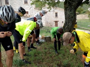
After climb no. 3, another 6%-10% for 6 km, we came to one of Mike’s famous white chalked arrows pointing up a country lane with broken pavement. This was real adventure! It turned into a 2 mile mountain bike descent into a small town where, given that it was now 3:30 in the afternoon, we stopped for a picnic lunch.
The temps dropped and it began to rain as we pulled out of the lunch stop and down 3 mi. of steep ramps and tight hairpin turns. What would have been a scintillating ride on dry pavement became a white knuckle affair as we worked to control our speed skimming down wet asphalt .
One more climb and we had downhill all the way to Norcia. The rain became steady, and two more of our group flatted. We rode the last 12 miles wet and chilled, and were very happy to reach the tall stone walls of this medieval city. Unfortunately, the rain kept my eyes on the road and my camera in my pocket. After a warm shower, we all agreed that it was another epic day, although Rich refused to declare it “QUALITY!” based on his low core body temperature at the conclusion.
Distance: 49 mi.
Vert.: 6,000 ft (Jim on-bike Garmin); 6126 (biketoaster.com),9284 (ridewithgps.com)


Great stories, great photos, Jack! Sure do miss you, though! So glad everyone made it safely through the rain and grqcel roads!! love, Betsy